
 Image 1 of 3
 Image 2 of 3
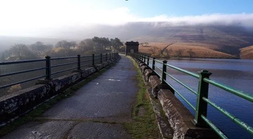 Image 3 of 3
How to Find the Starting Point: Dinas Castle Inn (formerly Dragons Back) Car Park (NB - you will need £2 cash for each car to park here)
Download the What3words app on your phone, and use the following address which will take you to the exact 3x3 metre square where this walk will start:
https://w3w.co/haystack.pint.beards
Start Time: 09.30
End Time: 16.30
Time: 7 hrs
Distance: 17 km / 10.6 miles
Ascent: 800 m / 2600 ft
Leader: Chris Lewis
Packed Meal: Bring Your Own
GPX Route File Download: TWF2023-04.gpx
Alternatively, here at the latitude and longitude coordinates and Map Grid Reference for the walk start location:
51.959450 , -3.2037719
Map Grid Reference: SO 173 296

Walk Leader: Chris Lewis
